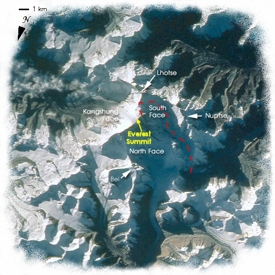
| A satellite image of the Everest area, showing the South Col route. Original image courtesy of Nasa. |
|
|
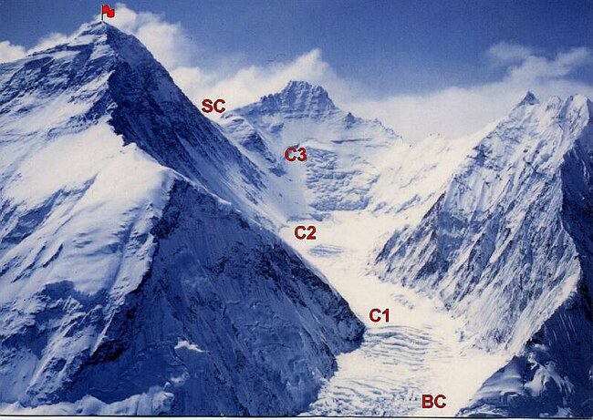
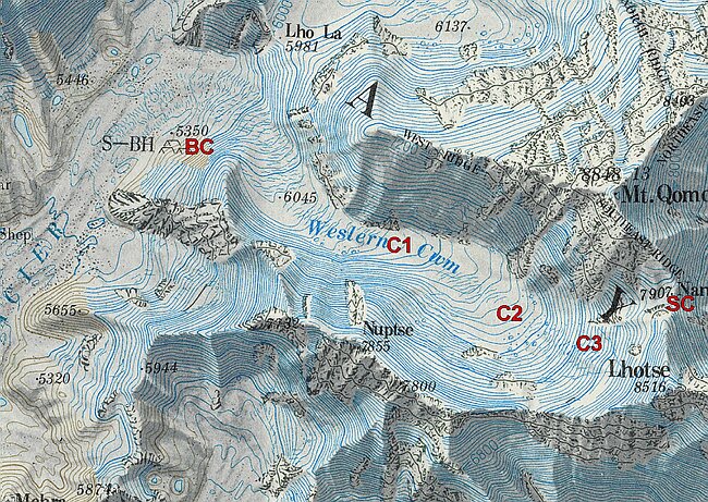
After crossing the Khumbu Glacier to Base Camp (c.5,364m/17,600ft), the route climbs the Western Cwm, via a succession of intermediate camps, to the South Col (c.7,930m/26,000ft) between Everest and Lhotse. From there it is approximately a mile up the south-east ridge to the summit (8,850m/29,035ft). |
|
Map of the Everest and surrounding areas. Everest is called Chomolungma (which translates to something like "mother goddess of the Earth") the by the Tibetans (with the Chinese preferring the variant Qomolangma, as seen in the map above), and known as Sagarmatha ("goddess of the sky") to the Nepalese. The name Everest was given to the mountain by the British in 1865, in honour of a surveyor-general of India. |
|